Circle Tours 
Backroad to Wells and Barkerville
Spectacular and not to be missed. This is a summer road only so confirm conditions before proceeding.
Cariboo Lake situated about 24 km (14.88 miles) north of Likely on the Keithly Creek Rd.
Ghost Lake
North of Likely, over the Quesnel River Bridge, continue straight onto Keithley Creek Road for approximately 25 km (15 miles), then turn on the Cariboo River FSR (8400 Road) and travel approximately 65 km (41 miles) to Ghost Main FSR. From the Ghost Main turnoff the Ghost Lake campground is 5.7 km (3.6 miles) away.
Cariboo Falls At the 15 km marker on the Keithley Creek Rd, turn right. (It is 16.5 km from Cedar Creek Rd turn) Parking and turn-around space at the ladders is very limited and this is an un-maintained road. If you choose to walk, it is 2.2 km from the top. In the fall, Chinook and Sockeye salmon are jumping up the falls.
Little Niagra
Beautiful falls that run into the lake almost at the end of Quesnel lake east arm.
Likely/Horsefly Circle Tour – The Old Gold Rush Trail.
(Approximately 3 hrs.)
From Williams Lake through Horsefly along the Quesnel Lake following the Ditch Road to Likely. Sights you will see along the way include lush Interior rain-forest foliage – Chinese Ovens – the Bullion Pit; Salmon Spawning Channels, and Quesnel Forks. In September, the Horsefly River is teeming with spawning salmon, and the viewing is great!
Hiking
The Likely area boasts endless miles of forest service roads and Historic mining trails,which are populor hiking trails. The Cedar Point Provinical Park is an exellent place to embark on a hike.
- Browntop Mountain Hiking Trail
This is an un-maintained wilderness road 11.5 km from the junction of the 8400 Road. From Keithley Creek Road turn right at the Barkerville sign, cross the Cariboo River and turn left onto the 8400 Road. Proceed 4.1 km on the 8400 Road to the C Road. Turn right and continue for 7.4 km to the trailhead. The road to the trailhead has grown in and may not be accessible by vehicle.
2. Cameron Ridge Trail
A beautiful hike 14 km (8.7 mi) twhich climbs along Cameron Ridge to the Cariboo Mountains Lookout. This trail was built by the Cariboo Mountains Wilderness Coalition as part of their efforts to protect the area. It is an easy hike through lovely sub-alpine meadows and surrounded by peaks, that leads to a stunning overlook of the north arm of Quesnel Lake. The trailhead is located about halfway (70 km/43 mi) between Barkerville and the town of Likely.
3. Bullion Pit Hike. 5 km hike on Likely Road on the Likely side of the bridge. A short 1km steep walk down to this majestic spot on the Quesnel River. Easy hike on graveled road.
4. Gavin Lake TrailsWatch for the Gavin Lake sign after you leave Morehead going towards Williams Lake. The road will be on your left side. The trails start at the Forest Recreation site on Gavin Lake.
Fishing
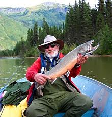
Likely has great fishing for all types of anglers. The types of fish found in our area are Rainbow trout, Dolly Varden, Bull trout, Char, Burbot, Kokanee, Chinook and Sockeye Salmon.
Benny Lake, Spanish Lake Road. This lake is quite small and remote with walk in access only and fishing is off shore.
Bootjack Lake, Bootjack Road. Small lake with boat launch and recreation site.
Cariboo Lake, Keithley Road and Cariboo Lake Road. Camping and boat launch at Ladies Creek recreation site.Cariboo River, Keithley Road, Quesnel Forks
Gavin Lake, Gavin Lake Road
Ghost Lake, 8400 Road to Barkerville. Recreation Site.
Jacobie Lake, Likely Road to Jacobie Lake Road. Recreation site and boat launch.
Mitchell River, Access though the north arm of Quesnel Lake by boat.
Quesnel Lake (North and East Arm) Recreation site, paved boat launch at Cedar Point “Class C” Provincial Park and at Abbott Creek Beach. Up the lake there is Boat Gas and Food available at Plato Island Resort and Elysha Resort (seasonal) Quesnel Lake is accessable from Likely or Horsefly at Mitchell Bay.
Quesnel River and Bullion Pool, Old Quesnel Forks Road. Not a through road and the road gets pretty bad before the Bullion Pool so it’s a good idea to walk in.
Spanish Lake, Spanish Lake Road. Recreation site and boat launch for small boats.
Tasse Lake, Spanish Lake Road. Recreation site and boat launch for small boats.
Wolverine Lake, Kangaroo Creek Road. Recreation site and boat launch for small boats.
ATVing & Mountian Biking 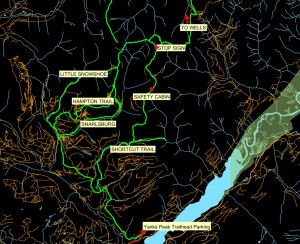
Yanks Peak For the adventurous traveller a trip to Yanks Peak is well worth the time and effort, accessible only by four-wheel vehicles or on foot. Enjoy the fantastic, awe inspiring scenery, of old mines, wildlife and rolling hills, which lead to the historic mining town of Barkerville.
Kayaking & White Water Rafting
World Class Kayaking on the natural Quesnel and Cariboo Rivers. 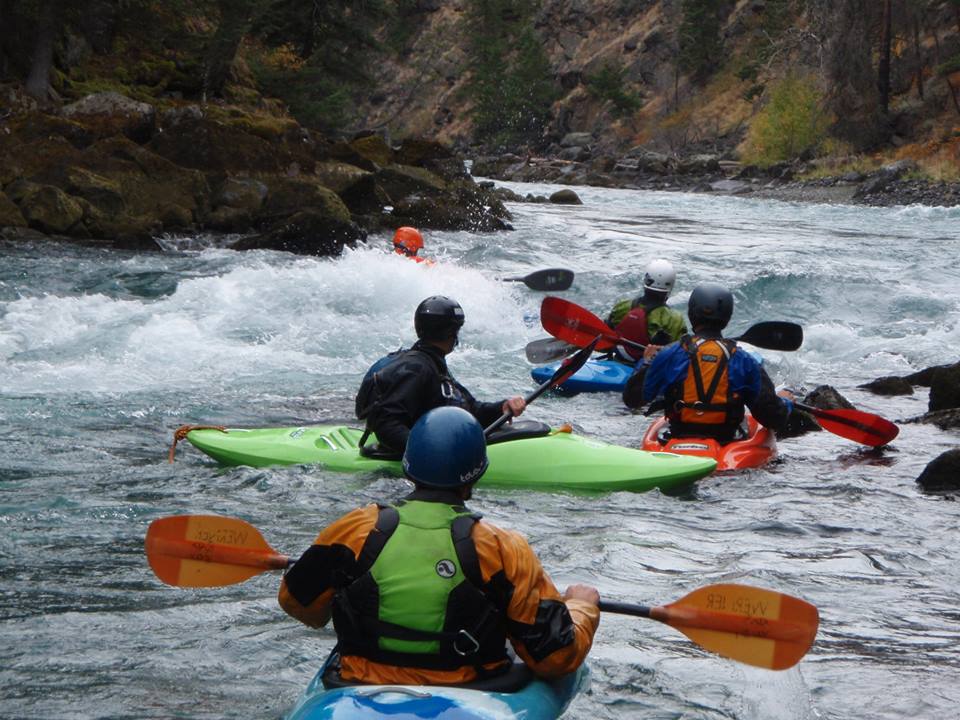
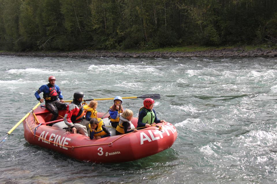
On natural rivers up to “Class 5″ rapids. For more info contact Chilko River Rafting or Big Canyon Rafting
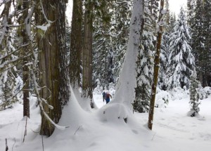
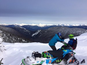
Cross Country Skiing and Snowmobiling
Camping and Recreation Sites
- Cedar Point Park
- Abbott Creek
- Bootjack Lake(info not available at this time since Mt. Polley spill)
- Cariboo Island
- Jacobie Lake
- Ladies Creek
- Quesnel Forks
- Raft Creek(info not available at this time since Mt. Polley)
- Spanish Lake
- Winkley Creek
- Wolverine Lake
Likely Bridge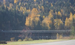
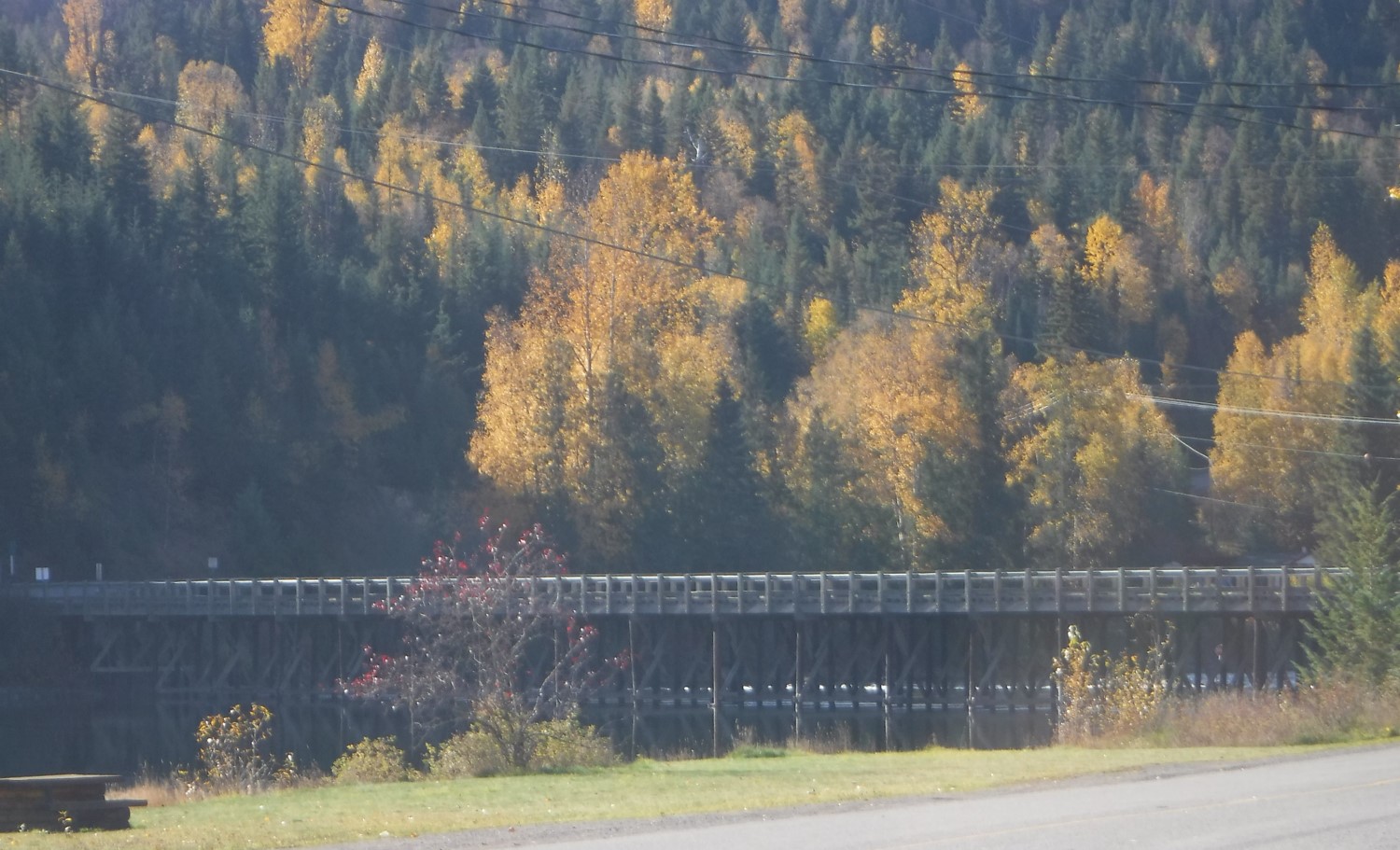
The current bridge is the third one to span the Quesnel River at this site. The remains of the Quesnelle Dam are still visible downriver from the Likely bridge . The dam was completed in 1898 in order to mine the river bottom. The stop sign in the river was erected as a hoax in the 1970’s and today aids in measuring the water levels. See the kiosk on GOAT ISLAND near the bridge. The first bridge entered Goat Island where there was a store and post office, and a number of cabins before heading to Likely.
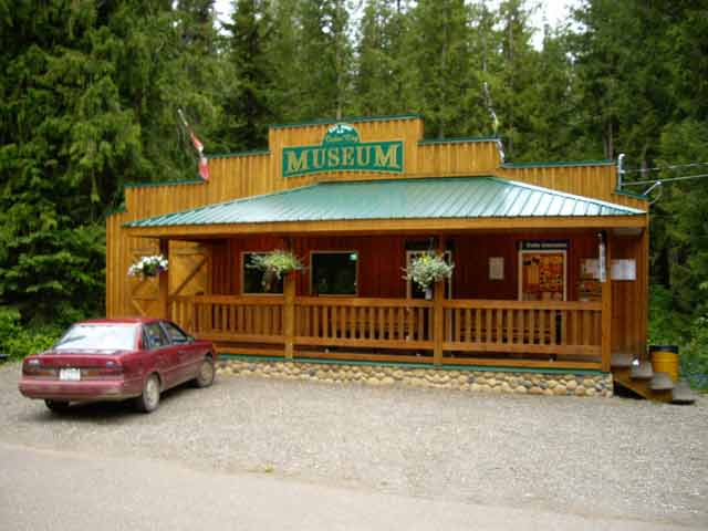
Likely Tourist Information and Cedar City Museum
The Likely Tourist Information and Cedar City Museum in Cedar Point Park and Campground. Turn right at the stop sign when leaving downtown Likely onto Keithley Creek road. Keep to the right onto Cedar Creek Road and continue along the lake until you reach the park. About a 5 minute drive from Likely Street.
Tom Kinvigs Cabin/Little Snowshoe Cemetary
4X4 ONLY Unmaintained Road. From Keithley Creek Bridge, drive and stay left at the first fork. Continue left at Powder Kings parking lot. Follow the yellow arrow left at 10.2 km from the bridge and continue to keep left. One more left will bring you to Little Snowshoe Creek which you must cross to reach the cabin. Veith and Borland had a store at Little Snowshoe Creek and Barrs Creek. The Little Snowshoe Cemetery is to the left of the cabin and across the road. Tom’s daughter Ethel still mines from her fathers cabin and owns the Chinese section of Keithley Creek. She was born in the Keithley Creek Hotel.
Quesnel Forks Ghost Town
Take the self guided tour of this historic ghost town! Tour information is on signs placed beside the buildings. Quesnel Forks is located 13 km from Keithley Creek Road. Turn at the Community Hall and follow Rosette Lake Rd as it turns into gravel road.
The ghost town of Ouesnel Forks was founded in 1859 and predates Barkerville. At one time it had one of the largest populations in mainland BC with 1,000 – 3,000 transient residents at the height of the gold rush. It was major supply centre for the miners as they headed further along the gold trail and is actually a Chinese ghost town. Feel the ghosts of the past as you stroll among the restored buildings, the cottonwood trees and the old cemetery. There are Low Mobility Trails along the Cariboo River and through the heritage village as well as wheelchair accessible outhouses.
Quesnel River Hatchery
Plan a visit to Likely in late August and watch thousands of salmon migrate up the Quesnel River to their spawning grounds in the Horsefly and Mitchell Rivers. The Quesnel River Hatchery produces over 2 million Chinook salmon every year, view adult salmon from August 1st until late September and between November and April the fry can be observed during different stages of development. The hatchery is open seven days a week, from 8am to 4pm.